Log in
All resources
Create a design
940 Free Artworks of Maps Of Landes
peru. incidents of travel and exploration in the land of the incas
bibliothèque nationale de france
eran laor cartographic collection
maps in the library of congress
floor plans of peru
a history of land mammals in the western hemisphere (1913)
considérations géographiques et physiques sur les nouvelles découvertes au nord de la grande mer
dutch-language maps
willem albert bachiene
maps by claude joseph sauthier
a history of land mammals in the western hemisphere (1913)
a history of land mammals in the western hemisphere (1913)
a history of land mammals in the western hemisphere (1913)
anatomical plates and drawings of the human skull
ghosts & ghoulish scenes - skulls
eran laor cartographic collection
philippe de la rué
eran laor cartographic collection
willem albert bachiene
hamburgische elbkarte von melchior lorichs
parts of old maps of hamburg
maps of spain by tomas lopez
1762 maps of spain
old maps of the holy land
joan blaeu
1779 maps of new york (state)
old maps of new york (state)
a history of land mammals in the western hemisphere (1913)
john rocque's 1748 map of london and adjacent country
maps in the british museum
peru. incidents of travel and exploration in the land of the incas
tiwanaku
maps in the library of congress
1670s maps of brazil
1660s maps of spain
1667 maps
maps in the library of congress
maps of adams county, illinois
eran laor cartographic collection
latin-language maps
1594 maps of baden-württemberg
wilhelm besserer
maps in the library of congress
1779 maps of new york (state)
maps of the west-indische compagnie
1668 maps of africa
18th-century double hemisphere world maps
1760s maps of the world
bibliothèque nationale de france
sanson maps of the holy land
1750s maps of california
philippe buache
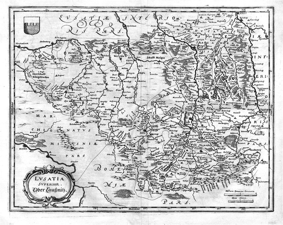
engravings of topographia superioris saxoniae, thüringiae, misniae et lusatiae (merian)
baroque
tresor des cartes geographiques (1659)
maps facing east
hamburgische elbkarte von melchior lorichs
parts of old maps of hamburg
peru. incidents of travel and exploration in the land of the incas
quisque fortress
early netherlandish painting,northern renaissance
the garden of earthly delights, closed
a history of land mammals in the western hemisphere (1913)
duin en kruidberg, santpoort
maps of zuid-kennemerland
maps by jakob van der schley
1753 maps
eran laor cartographic collection
willem albert bachiene
the land of the monuments (1896)
old maps of the suez canal
considérations géographiques et physiques sur les nouvelles découvertes au nord de la grande mer
old maps of the yellow sea
john rocque 1746 crops from library of congress
john rocque
nieuwe en beknopte hand-atlas (1754)
baronie van breda
maps by johann baptist homann
sanson maps of the holy land
maps of the holy land by mercator-hondius
maps in the library of congress
maps from university of amsterdam special collections
atlas der neederlanden
pieter verbiest (ii)
maps from gallica
eran laor cartographic collection
claes jansz. visscher (ii)
eran laor cartographic collection
claes jansz. visscher (ii)
peru. incidents of travel and exploration in the land of the incas
cañete, peru
lawrence h. slaughter collection of english maps, charts, globes, books and atlases
maps by claude joseph sauthier
maps of the gulf of suez
1866 maps
19th-century maps of cairo
1866 maps
hudson river in the 19th century
steamboats of the united states
eran laor cartographic collection
willem albert bachiene
johann david schleuen
old maps of prussia
considérations géographiques et physiques sur les nouvelles découvertes au nord de la grande mer
isla de los estados
considérations géographiques et physiques sur les nouvelles découvertes au nord de la grande mer
eso island
considérations géographiques et physiques sur les nouvelles découvertes au nord de la grande mer
eso island
john rocque 1746 crops from library of congress
maps in the library of congress
dutch east indies in world war ii
arthur blackburn
eran laor cartographic collection
joseph schwarz
19th-century maps of vaucluse
1852 maps of france
charles william meredith van de velde
eran laor cartographic collection
maps by daniel stoopendaal
biblical maps
adriaan schoonebeek
sestroretsky spill
lawrence h. slaughter collection of english maps, charts, globes, books and atlases
nypl lionel pincus and princess firyal map division
maps in the library of congress
plan de roussel
eran laor cartographic collection
willem albert bachiene
henri le roy (1579-)
diocese of aire
17th-century maps of the strait of magellan
maps by willem and johannes blaeu
old maps of the tribes of israel
old maps of ancient israel
maps of spain by tomas lopez
old maps of guadeloupe
alexandre de laborde
maps of sagunt
caribbean maps in leiden university library
files uploaded at wiki techstorm 2019
caribbean maps in leiden university library
files uploaded at wiki techstorm 2019
eran laor cartographic collection
pierre mortier
peru. incidents of travel and exploration in the land of the incas
huacas de lima
peru. incidents of travel and exploration in the land of the incas
buildings in peru
steendrukkerij p. blommers
old maps of kalimantan
narrative of the arctic land expedition to the mouth of the great fish river - and along the shores of the arctic ocean, in the years, 1833, 1834, and 1835 (1836)
old maps of pyrénées-orientales
1852 maps of france
maps in the library of congress
old maps of hungary
atlas of the great elector
archipelagus orientalis
eran laor cartographic collection
claes jansz. visscher (ii)
old maps of north holland
zaandam
maps by alexis-hubert jaillot
sanson maps of the holy land
1760s maps of the americas
jean janvier
new york state supreme court 60 centre street
bromley maps of manhattan published 1955–56
africa in the 18th century
1794 maps of africa
africa in the 18th century
1794 maps of africa
maps by john cary
1801 maps
peru. incidents of travel and exploration in the land of the incas
cañete, peru
floor plans of peru
palacio nik an
peru. incidents of travel and exploration in the land of the incas
floor plans of peru
floor plans of peru
chan chan
peru. incidents of travel and exploration in the land of the incas
cajamarquilla, lima
peru. incidents of travel and exploration in the land of the incas
intihuatana
peru. incidents of travel and exploration in the land of the incas
floor plans of peru
peru. incidents of travel and exploration in the land of the incas
history of peru
peru. incidents of travel and exploration in the land of the incas
lake titicaca
floor plans of peru
palacio nik an
peru. incidents of travel and exploration in the land of the incas
floor plans of peru
peru. incidents of travel and exploration in the land of the incas
el padrejon, lima
maps in the library of congress
1849 maps
1747 maps of new hampshire
english-language maps
eran laor cartographic collection
alexis-hubert jaillot
201 - 300 of 940
Next page
/ 10